Bush Explorers Encyclopaedia
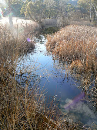
Has its many tributaries on the Great Dividing Range, 5.5km east of Ben Bullen and 2km west of Baal Bone Gap. It flows for about 14km generally south west, then west and north into the Turon River. The Sydney Gazette, 10th August 1844, p. 1, records that at Jews Creek there was a boiling establishment. One of the by products was to extract tallow from sheep fat to make candles. The Maitland Mercury, 3rd August 1844, p. 3, records,"The Boiling Establishment at Jews Creek is now in full operation, capable of boiling down 3,500 sheep or 300 head of cattle per week." Jews Creek was most likely named due to the Jewish owners nearby. Ref: Rolls, Eric. A Million - Wild Acres, 1981, p. 146. Lang, John Dunmore. An Historical and Statistical Account of New South Wales, 1875, p. 221 records, "Kuen Guen, or Jew's Creek."
- Ben Bullen
- Cullen Bullen and Capertee
- 279 200 headwaters
- 760 213 junction
- GOS1.06: Pantoneys Crown
- GOS1.08: Moffitts Trail to Tarpeian Rock via Rowans Hole
- GOS1.14: Rowans Hole West to East
- GOS1.15: Murdocks Trail to Baal Bone Point via Coco Creek
- GOS1.16: Rowans Hole and more
- GOS1.17: Poseidon Area
- GOS1.19: Exploring the Pagoda Maze
- GOS2.15: The Pentafid on Deanes Creek
- GOS5.03: Sisyphean Ridge
- GOS5.06: Subsidence fractures, Ben Bullen State Forest