Bush Explorers Encyclopaedia
Name:
Mount Dawson Pass
Description:
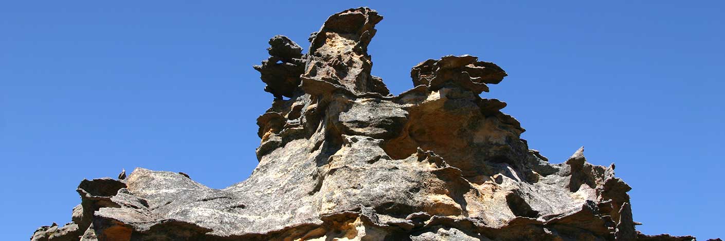
Is a very steep, almost vertical natural pass 200m north, north east of Mount Dawson. The pass access from the Capertee Valley and Goolooinboin Station was discovered and named by Michael Keats on a bushwalk, 13th September 2009.
Maps:
- Ben Bullen
Grid Reference:
- 379243
- top GR 379 242 bottom
Location:
Gardens of Stone National Park
Status:
Protected
Related Names:
Read More In:
Walks:
- GOS2.01: Mount Harvey and Mount Dawson Pass
- GOS2.24: Traversing Pantoneys Crown
- GOS2.27: Mount Dawson via Capertee Creek
Photos:

