Bush Explorers Encyclopaedia
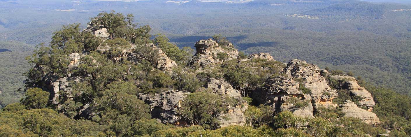
Rises to 985m, 4.4km south east of Pantoneys Crown and above the northern end of Hughes Defile. Shown on the map Parish of Goollooinboin, 1884. Named after Reverend Colin Stewart (1803-1886). Born in Scotland, he arrived in New South Wales in 1839. Upon his arrival, he was sent to Hartley and was granted 130ac of land in the Lithgow Valley. Between 1839 and 1842, his area of ministry extended from Bowenfels to the Queensland border. He held the first Presbyterian service in Capertee Valley in 1839 and opened the first church at Glen Alice in the 1860s. Ref: Palmer, Freda and Scurrah, F L. Tour of Rylstone and Capertee Valleys, 1969, Pt: 2, pp. 4-5.
- Ben Bullen
- 325 220
- GOS1.06: Pantoneys Crown
- GOS1.07: McLeans Pass and further east
- GOS1.13: Crown Creek and Hughes Defile
- GOS1.21: Blackmans Crown and Platform Rock
- GOS1.23: The Eastern Extension of Mount Genowlan
- GOS2.24: Traversing Pantoneys Crown

