Bush Explorers Encyclopaedia
Name:
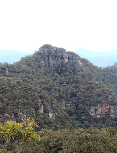
Point Anderson *
Description:
Is a point of land on the escarpment 2km south of Mount Canobla and 3.5km north west of Newnes. Shown on the map Parish of Goollooinboin, 1884. The Sydney Gazette, 15th October 1831, p. 2 records the arrival of Scottish immigrants that included Patrick Anderson and his wife. The Survey Plan B351.691 dated 1837 shows 640ac applied for by Robert Anderson and Lessee Patrick Anderson near Blackmans Crown. NSW Government Gazette, 13th April 1839, p. 455 also records the lease at 20 shillings per acre.
Maps:
- Ben Bullen
Grid Reference:
- 398 286
Location:
Gardens of Stone National Park & Wollemi National Park
Status:
Protected
Related Names:
Read More In:
Walks:
- GOS1.21: Blackmans Crown and Platform Rock
- GOS2.03: Point Anderson and Canobla Creek
- GOS2.04: Mount Canobla
- GOS2.05: Mount Gundangaroo
- GOS2.06: The Wolgan - Capertee Divide
- GOS2.09: Two of the ridges north of the Newnes Hotel
Photos: