Bush Explorers Encyclopaedia
Name:
Point Cameron *
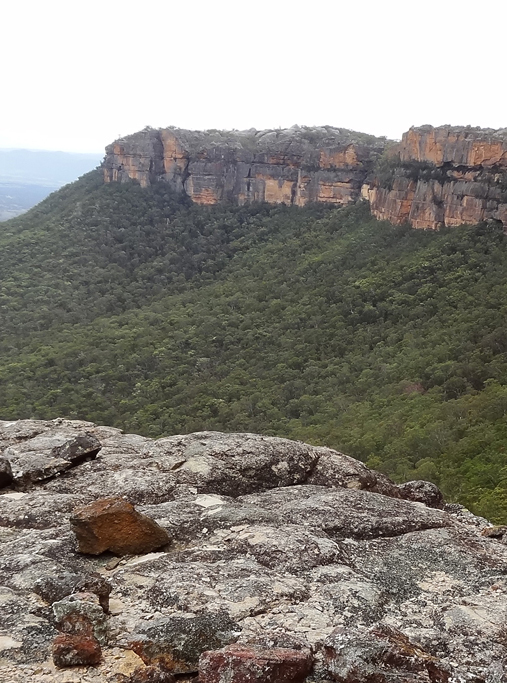
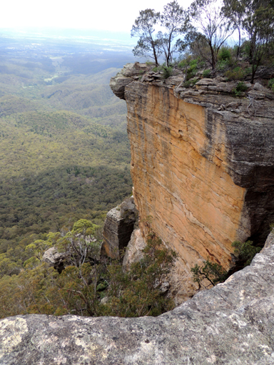
Description:
Located 1.1km north west of Mount Davidson and Wolgan Trig Station, and 3.8km south east of Pantoneys Crown. Shown on Carne, Joseph. Geological Map of the Capertee and Wolgan Valleys, 1901. In 1892, John Cameron via Conditional Lease held Portions 2, 3 and 11 bounded by the Wolgan River that have a total area of 250ac. Ref: Survey Plan 1930, 1931 and 1932. 1507. Allan Cameron (1812-1898) is buried at Glen Alice Cemetery.
Maps:
- Ben Bullen
Grid Reference:
- 309 210
Location:
Gardens of Stone National Park
Status:
Protected
Related Names:
Read More In:
Walks:
- GOS1.06: Pantoneys Crown
- GOS1.07: McLeans Pass and further east
- GOS1.08: Moffitts Trail to Tarpeian Rock via Rowans Hole
- GOS1.18: Hades and the Underworld
- GOS1.25: South of Hecates Cauldron
- GOS2.24: Traversing Pantoneys Crown
Photos: