Bush Explorers Encyclopaedia
Name:
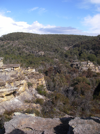
Railmotor Ridge *
Description:
Trends east west for about 26km, having Mount Norris on its western end, GR 499 069, and the Wollangambe River on the eastern end, GR 670 043. The spine of this ridge marks the boundary between two national parks, Blue Mountains National Park on the south and the Wollemi National Park on the north.
Maps:
- Rock Hill
Grid Reference:
- 499 069 to 670 043
Location:
Wollemi National Park & Blue Mountains National Park
Status:
Protected
Related Names:
Read More In:
Walks:
- GOS3.03: Donkey Mountain 3
- GOS3.06: Mt Cameron via Railmotor Ridge, Rock Hill and Nayook Creek
- GOS4.19: Nayook Creek plus a bit more
- GOS4.22: Thorpes Folly via the Hair of the Dog Ravine
- GOS4.24: Minyaba Canyon and Bula Nadgyung
- GOS4.25: Deep Pass to Natural Bridge
- GOS4.26: Nayook Creek east of Natural Bridge
- GOS4.29: Mount Norris and Railmotor Ridge
- GOS4.36: Northern cliffs of Dingo Creek
Photos: