Bush Explorers Encyclopaedia
Name:
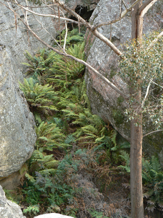
Rockflower Creek
Description:
This creek is 4.2km long, has its headwaters between the western extremity of Sunnyside Ridge Road and Cape Pinnacle. It flows north, north west for 1.6km before dropping over the cliff line and then flowing into the Wolgan River at the locality called Jacks Camp. Name coined by Brian Fox, 9th September 2011, in keeping with the name Rockflower Ridge.
Maps:
- Cullen Bullen
Grid Reference:
- 344 118 headwaters
- 334 154 junction
Location:
Newnes State Forest (headwaters)
Status:
Threatened
Related Names:
Walks:
- GOS6.07: Cape Pinnacle
- GOS6.08: Rockflower Ridge and Creek
Photos: