Bush Explorers Encyclopaedia
Name:
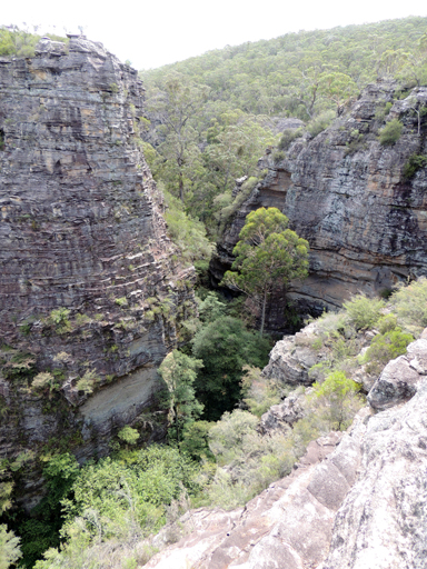
Budgary Creek *
Description:
Is a watercourse, about 9km long. It rises at Cockatoo Hill Trig Station and flows generally north east by north into Rocky Creek.
Maps:
- Rock Hill
Grid Reference:
- 454 069 headwaters
- 486 134 junction
Location:
Newnes State Forest and Wollemi National Park
Status:
Threatened
Related Names:
Read More In:
Walks:
- GOS4.14: Bungleboori Creek and ravines south of Waratah Ridge
- GOS4.25: Deep Pass to Natural Bridge
Photos: