Bush Explorers Encyclopaedia
Name:
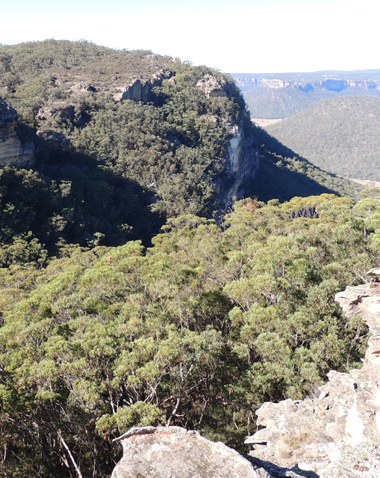
Collett Gap *
Description:
Is a saddle in a mesa about 4km south west of Mount Dawson and 1km south of Point Cornell. Shown on the map Parish of Wolgan, 1884. This gap divides the tributaries of Red Rock Creek and Barton Creek. Note, Collett Gap is misspelled, so named after Pierce Collitt (1760-1848) and Mary Collitt (1769-1841), who in 1823 were the first to establish an inn on the western side of the Blue Mountains. The Collitt's Inn at the foot of Mount York in the 1820s and 1830s was one of the last comfortable inns before leaving into the wilds of the Capertee and Wolgan area. Ref: Paridaens, Iris. Lithgow and Hartley Valley Sketchbook, 1978, p. 4.
Maps:
- Ben Bullen
Grid Reference:
- 352 208
Location:
Gardens of Stone National Park
Status:
Protected
Related Names:
Read More In:
Walks:
- GOS1.12: Collett Gap and Woolpack Rock
Photos: