Bush Explorers Encyclopaedia
Name:
Mount Norris *
Description:
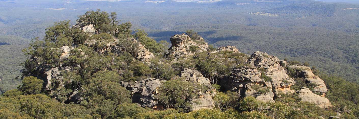
Is a hill on the western end of Railmotor Ridge, rising above Nayook Creek. Situated about 300m east of the saddle (Deep Pass) and 5.2km east of Cockatoo Hill Trig Station. Named by Wilf Julius Hilder (1934-2011), c1970, after John Norris who held the lease at Deep Pass in 1960. John had built a hut within the clearing and used the area to grow potatoes, a vegetable that would keep in the ground until needed. Ref: Correspondence with Wilf Hilder, 19th December 2009. Special Lease, Norris LB60/7.
Maps:
- Rock Hill
Grid Reference:
- 499 069
Location:
Wollemi National Park & Blue Mountains National Park
Status:
Protected
Related Names:
Read More In:
Walks:
- GOS3.06: Mt Cameron via Railmotor Ridge, Rock Hill and Nayook Creek
- GOS4.19: Nayook Creek plus a bit more
- GOS4.22: Thorpes Folly via the Hair of the Dog Ravine
- GOS4.24: Minyaba Canyon and Bula Nadgyung
- GOS4.25: Deep Pass to Natural Bridge
- GOS4.29: Mount Norris and Railmotor Ridge
- GOS4.36: Northern cliffs of Dingo Creek
Photos:

