Bush Explorers Encyclopaedia
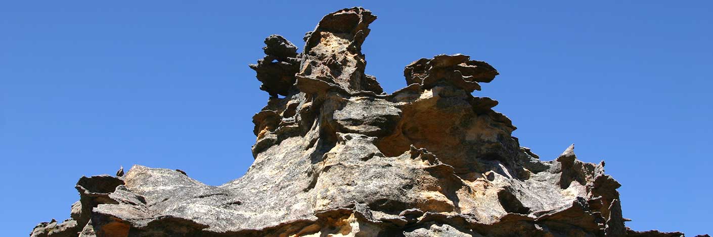
Is a spectacular isolated sandstone mesa 7.5km north east of Ben Bullen. Having a height of just over 1020m, it rises over 300m above its surroundings. The closest road is Crown Creek Trail, 2km to the east. Geographical Names Board notes on 27th August 1970 record, "District surveyor advises it is locally referred to and abbreviated as, The Crown. Shown on the map Parish of Goollooinboin, 1884 as Pantony's (sic) Crown or Tower Mount. Named after William Lee (Pantoney) (1794-1870), son of William Pantoney and Sarah Smith, convicts. William married Mary Dargin in 1821 and they had 4 daughters and 6 sons. Ref: Bathurst Pioneers. It was the Aborigines that were employed by Lee who guided him to the Capertee region; they also showed him other promising pastures. Lee established a sheep grazing property in the Capertee area in 1823. Ref: Gresser, P. J. The Aborigines of the Bathurst District. Harvey, Jan and Gerald. The Glen Alice School Centenary, 1884-1984, 1984, p. 57. He was known as William Pantoney Junior until c1817, when he changed his name to William Lee. His early years were spent on Norfolk Island. He lived at Windsor in 1814 and was issued with government cattle in 1816. In 1818, he was one of the first settlers to receive a 50ac land grant at Bathurst. William Lee became a prominent Bathurst figure and in 1856-59 sat in the first Legislative Assembly as Member for Roxburgh. Ref: NSW Parliament, former members website.
- Ben Bullen
- 288 244
- GOS1.02: Genowlan Mountain
- GOS1.03: South West end of Airly
- GOS1.04: Airly Creek and Winding Pinch Creek
- GOS1.05: East Mount Airly
- GOS1.06: Pantoneys Crown
- GOS1.07: McLeans Pass and further east
- GOS1.08: Moffitts Trail to Tarpeian Rock via Rowans Hole
- GOS1.09: Passes of East Genowlan Mountain
- GOS1.13: Crown Creek and Hughes Defile
- GOS1.14: Rowans Hole West to East
- GOS1.15: Murdocks Trail to Baal Bone Point via Coco Creek
- GOS1.16: Rowans Hole and more
- GOS1.18: Hades and the Underworld
- GOS1.19: Exploring the Pagoda Maze
- GOS1.21: Blackmans Crown and Platform Rock
- GOS1.23: The Eastern Extension of Mount Genowlan
- GOS1.24: Genowlan Canyon, Mothers Arms and the Dragons Mouth
- GOS1.25: South of Hecates Cauldron
- GOS2.01: Mount Harvey and Mount Dawson Pass
- GOS2.02: Mount Dawson and Gindantherie Pinnacle
- GOS2.03: Point Anderson and Canobla Creek
- GOS2.04: Mount Canobla
- GOS2.05: Mount Gundangaroo
- GOS2.06: The Wolgan - Capertee Divide
- GOS2.07: Petries Gully Circuit
- GOS2.24: Traversing Pantoneys Crown
- GOS2.27: Mount Dawson via Capertee Creek
- GOS3.01: Donkey Mountain 1
- GOS3.02: Donkey Mountain 2
- GOS5.01: North and west of Murdocks Creek
- GOS5.02: Gaudis Walls


