Bush Explorers Encyclopaedia
Name:
Clarence *
Description:
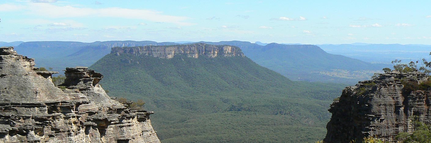
Is a locality about 7km east of the City of Lithgow. Boundaries are within the Lithgow Council area. GR 417 922. Clarence would have taken its name from Mount Clarence, which is located 2.5km south west of the railway station. Governor Macquarie in his trip across the Blue Mountains to Bathurst in 1815 named Clarences Hilly Range in honour of H.R.H. the Duke of Clarence. Ref: Macquarie's journal. Mount Clarence would have been derived from this name.
Maps:
- Lithgow
Grid Reference:
Location:
Status:
Related Names:
Read More In:
Walks:
- GOS2.12: The Wolgan Valley from Glowworm Tunnel to Newnes
- GOS2.13: Newnes - Wolgan River - Zobels Gully Triangle
- GOS2.16: An unnamed tributary of Deanes Creek
- GOS3.10: Carne Creek Cliffs, Nobles Canyon and the fissures
- GOS3.13: Carne Creek Cliffs, Joseph Creek and Murrays Line
- GOS3.14: Carne Creek Cliffs, Camp Creek, the Dung Cave and more
- GOS3.15: Carne Creek Cliffs and Lurline Jack Lookout
- GOS3.16: Carne Creek Cliffs, Felt Fern Canyon and Pyramid Rocks
- GOS3.20: Unnamed tributary of Deanes Creek
- GOS4.01.B: Wollangambe tributaries and Dargans Arch
- GOS4.02: Wollangambe River - a sample excursion
- GOS4.04: Dumbano Creek Tunnels
- GOS4.06: Bungleboori Creek and Hill 959
- GOS4.08: Dicksonia Forest Ravine
- GOS4.11: Bungleboori Creek and the WWII Water Supply Dam
- GOS4.14: Bungleboori Creek and ravines south of Waratah Ridge
- GOS4.19: Nayook Creek plus a bit more
- GOS4.20: Dingo Creek from GR 454 060 and downstream
- GOS4.29: Mount Norris and Railmotor Ridge
- GOS4.30: Stillson Spur and Zig Zag Spur
- GOS4.32: Even closer to Heaven
- GOS4.38: A day in Heaven
- GOS5.23: Blackfellows Hand Rock
- GOS5.25: Aboriginal art caves
- GOS6.05: Wolgan Falls
- GOS6.07: Cape Pinnacle
- GOS6.10: Sunnyside Canyon and Ravines
- GOS6.16: Endorphin Slot and Gully
- GOS6.29: Wild Gorge and Pinch Point Circle
- GOS7.10: Upper Wolgan River
- GOS7.11: Wolgan River bends above Wolgan Falls
- GOS7.13: Farmers Creek - a western tributary
- GOS7.17: Reedy Creek
- GOS7.18: Clarence Arch
- GOS7.19: Blacksmith Cave
- GOS7.20: Doctors Gap and Ida Falls circuit
- GOS7.21: State Mine Gully and Hassans Walls
- GOS7.22: The Zig-Zag Railway and Ida Falls Creek
Photos:

