Bush Explorers Encyclopaedia
Name:
Mount Airly *
Description:
Is 1.4km west of the locality of Town of Airly and 1.5km north of Glen Davis Road. Also see Airly.
Maps:
- Glen Alice
Grid Reference:
- 226 333
Location:
Mugii Murum-ban State Conservation Area
Status:
Threatened
Related Names:
Read More In:
Walks:
- GOS1.01: Blacks Corner
- GOS1.02: Genowlan Mountain
- GOS1.03: South West end of Airly
- GOS1.05: East Mount Airly
- GOS1.08: Moffitts Trail to Tarpeian Rock via Rowans Hole
- GOS1.09: Passes of East Genowlan Mountain
- GOS1.14: Rowans Hole West to East
- GOS1.21: Blackmans Crown and Platform Rock
- GOS1.22: The Valley of the Kings
- GOS1.24: Genowlan Canyon, Mothers Arms and the Dragons Mouth
- GOS2.01: Mount Harvey and Mount Dawson Pass
- GOS2.04: Mount Canobla
- GOS5.01: North and west of Murdocks Creek
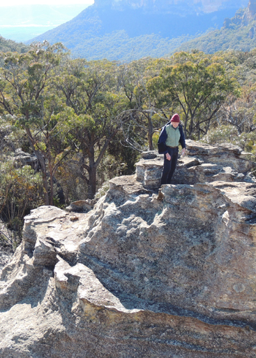
Photos: