Bush Explorers Encyclopaedia
Name:
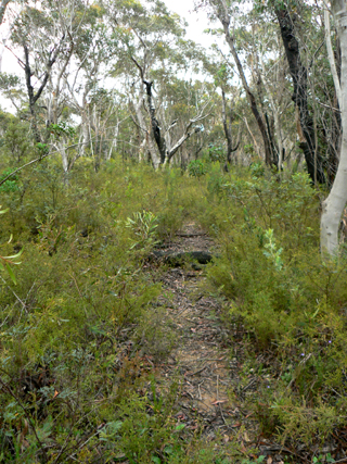
Mount Cameron Trail
Description:
Extends in a north east direction from Eastern Boundary Road, GR 451 063, near Cockatoo Hill Trig Station, crossing Dinner Gully and the Natural Bridge and finishing on the north west side of Mount Cameron. Vehicular access is only for the first 5.7km.
Maps:
- Rock Hill
Grid Reference:
- 453 064 to 493 095 barrier
Location:
Wollemi National Park
Status:
Protected
Related Names:
Read More In:
Walks:
- GOS3.06: Mt Cameron via Railmotor Ridge, Rock Hill and Nayook Creek
- GOS3.14: Carne Creek Cliffs, Camp Creek, the Dung Cave and more
- GOS4.19: Nayook Creek plus a bit more
- GOS4.25: Deep Pass to Natural Bridge
- GOS4.26: Nayook Creek east of Natural Bridge
- GOS4.27: Mount Cameron Fire Trail and part of Nayook Creek
Photos: