Bush Explorers Encyclopaedia
Name:
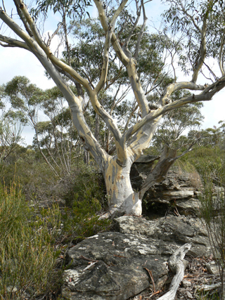
Waratah Ridge *
Description:
Trends from the Blue Mountains Range 3.5km west of Mount Horne in a generally eastern direction for about 13km. This is a descriptive name, as each year many Waratahs flower there from around October. A part of this ridge is traversed by Waratah Ridge Road.
Maps:
- Lithgow and Wollangambe
Grid Reference:
- 392 010 to 510 028.
Location:
Newnes State Forest
Status:
Threatened
Related Names:
Read More In:
Walks:
- GOS4.06: Bungleboori Creek and Hill 959
- GOS4.11: Bungleboori Creek and the WWII Water Supply Dam
- GOS4.12: Bungleboori Creek and Clwydd Pass
- GOS4.13: Bungleboori Creek and two tributary creeks
- GOS4.14: Bungleboori Creek and ravines south of Waratah Ridge
- GOS4.15: Mount Horne - Bungleboori Creek and Paddys Creek
- GOS4.20: Dingo Creek from GR 454 060 and downstream
- GOS4.22: Thorpes Folly via the Hair of the Dog Ravine
- GOS4.30: Stillson Spur and Zig Zag Spur
- GOS4.31: Dingo Creek and Cerberus Creek
- GOS4.33: Cerberus Creek traverse
- GOS4.34: Ravines above Popeye Canyon
- GOS4.35: Hair of the Dog Ravine
- GOS4.36: Northern cliffs of Dingo Creek
- GOS4.37: The Arch in Arch Canyon
- GOS4.39: A day just outside Heaven
Photos: